Coast and islands · Thailand · Krabi Province
Krabi & Railay
Ao Nang and Railay sit among limestone cliffs and coral water, with routes toward Ko Lanta and the Phi Phi islands.
One canonical city journal
Everything for Krabi & Railay, together
Ao Nang and Railay sit among limestone cliffs and coral water, with routes toward Ko Lanta and the Phi Phi islands.
This page consolidates the city’s writing, photographs, mapped stops, practical detail, and locally matched saved places. Regional route pages remain useful for wider context, but this is the stable journal URL for Krabi & Railay.
Consolidated journal
Descriptions, photographs, and details
The entry below preserves the useful material that previously lived inside a broader regional route.
Krabi & Railay
Andaman Sea · Limestone coast
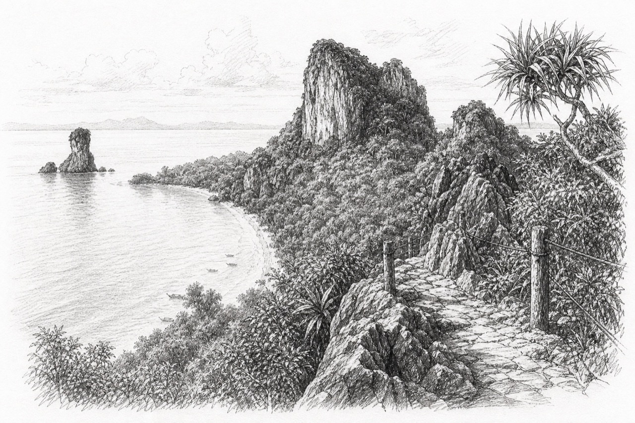
Krabi’s signature is vertical limestone meeting coral water. Ao Nang is a practical boat base, Railay provides the dramatic peninsula landscape, and longer stays can extend toward Ko Lanta.
Look for
- Railay and Phra Nang’s cliff-lined coast
- Island trips selected for current marine conditions
- Ko Lanta, mangroves, hot springs, or inland nature
Broader route context remains in the source travel guide.
Personal shortlist
Want to Go places around Krabi & Railay
These pins come from the personal Google Maps Want to Go collection and fall inside this city’s mapped boundary or local radius. Every matching pin is available on the searchable map above.
Journal notes
Use this as a living travel record
Verify current access
Opening hours, permits, transport, weather, and local rules can change after a journal entry is written.
Read the map selectively
The saved list is a set of possibilities, not a checklist. Filter it and build a route around one compact area at a time.
Distinguish visits from ideas
Green journal stops are documented or photographed; red Want to Go pins remain future possibilities.
Add the next chapter here
Future descriptions and photographs now have one stable city page instead of being split among collection pages.