Travelled August 27, 2016 · Published Aug 8, 2026 · 308 words
Chitradurga: a fort folded into the boulders
The 2016 Chitradurga archive follows walls, gateways and granite outcrops through one of Karnataka's most dramatic defensive landscapes.
Journal entry
Notes from the journey
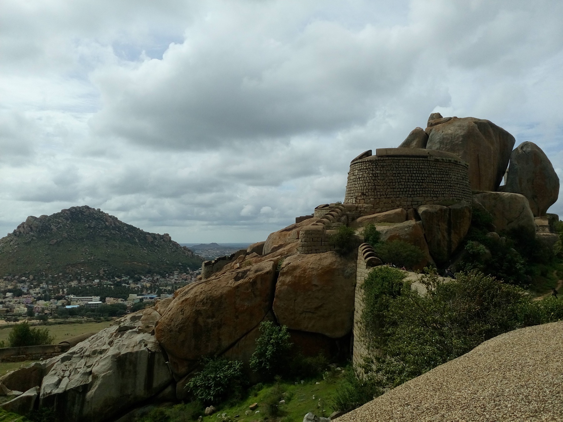
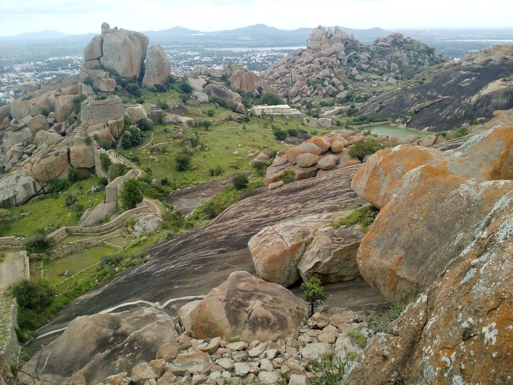
Chitradurga Fort does not sit neatly on a hill; it threads walls, tanks, temples and passages through a field of granite. The 2016 photographs show how little separation exists between geology and engineering. Boulders become ramparts, viewpoints and hiding places, while each gateway reveals another defensive layer.
Archive note: the photographs in this journal come from Varghese Tony's personal travel collection. Historical context is independently researched from the authoritative sources linked at the end.
Seven circles and a difficult approach
The fort's popular name, Kallina Kote or stone fortress, captures its material but not its complexity. Successive rulers enlarged the defences, with the Nayakas of Chitradurga responsible for much of the surviving form. Bent entrances, climbing paths and overlapping walls prevented a direct assault. From inside, the route feels deliberately uncertain: every turn tests visibility and movement.
The story of Onake Obavva
A narrow opening in the fort is associated with Onake Obavva, who, local tradition says, confronted enemy soldiers entering through the passage while her guard husband was away. The tale has become a powerful Kannada story of courage. It is best presented as remembered history rather than a fully documented battle account; the physical opening and the scale of the defences make clear why such a story took root here.
Temples, reservoirs and daily life
Chitradurga was more than a military machine. Temples, granaries and water structures supported a community within the walls. The wide view over the Deccan plain is spectacular, but looking inward at catchments and sheltered courts explains how people could endure long seasons in this exposed granite landscape.
Research and planning sources
The historical notes above are paraphrased from the following official heritage and tourism resources. Opening hours, tickets, conservation closures, trail access and photography rules can change; check the linked authorities before travelling.
Places from the journey
Saved places
Fort and heritage
Chitradurga Fort
A multi-ring hill fort developed by several dynasties and the Nayakas of Chitradurga.
Open in Google Maps ↗Historic site
Onake Obavva Kindi
The narrow passage associated with the local story of Onake Obavva's defence of the fort.
Open in Google Maps ↗Sacred heritage
Hidimbeshwara Temple
A temple set within the fort's granite heights.
Open in Google Maps ↗