Travelled July 17, 2018 – July 21, 2018 · Published Aug 8, 2026 · 394 words
Hong Kong: harbour light, island climbs and quiet gardens
A 2018 journal connecting Victoria Harbour and The Peak with Lantau's Buddhist landscape, Stanley and the reservoir trails hidden beside the city.
Journal entry
Notes from the journey
Hong Kong's density makes its open landscapes more surprising, not less important. The 2018 archive moves between harbour, towers, gardens, monasteries and reservoirs, often using public transport to change worlds within an hour. The result is not a single skyline journal but a portrait of a city where mountains and water continually interrupt the urban grid.
Archive note: the photographs in this journal come from Varghese Tony's personal travel collection. Historical context is independently researched from the authoritative sources linked at the end.
The harbour as the city's central room
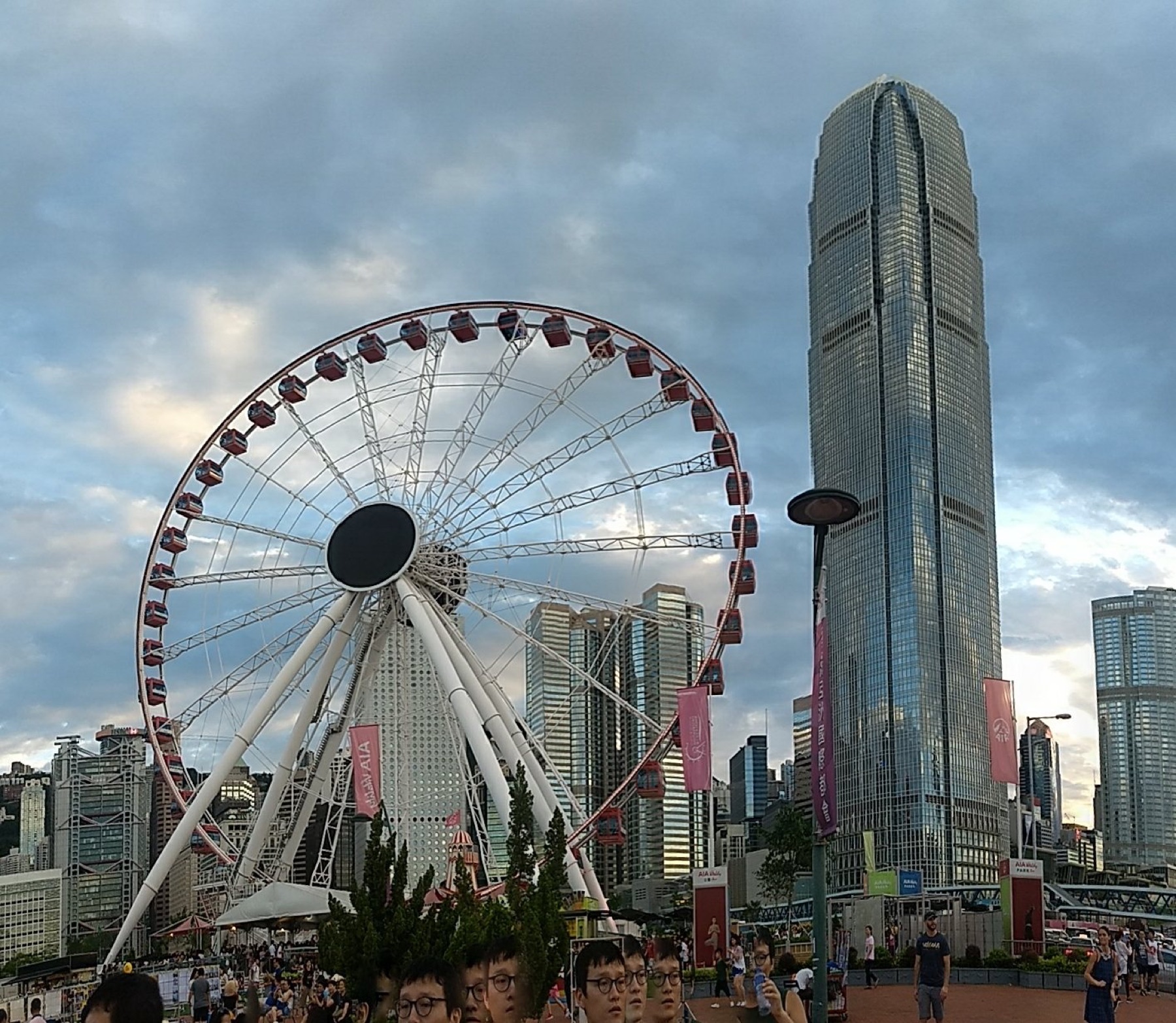
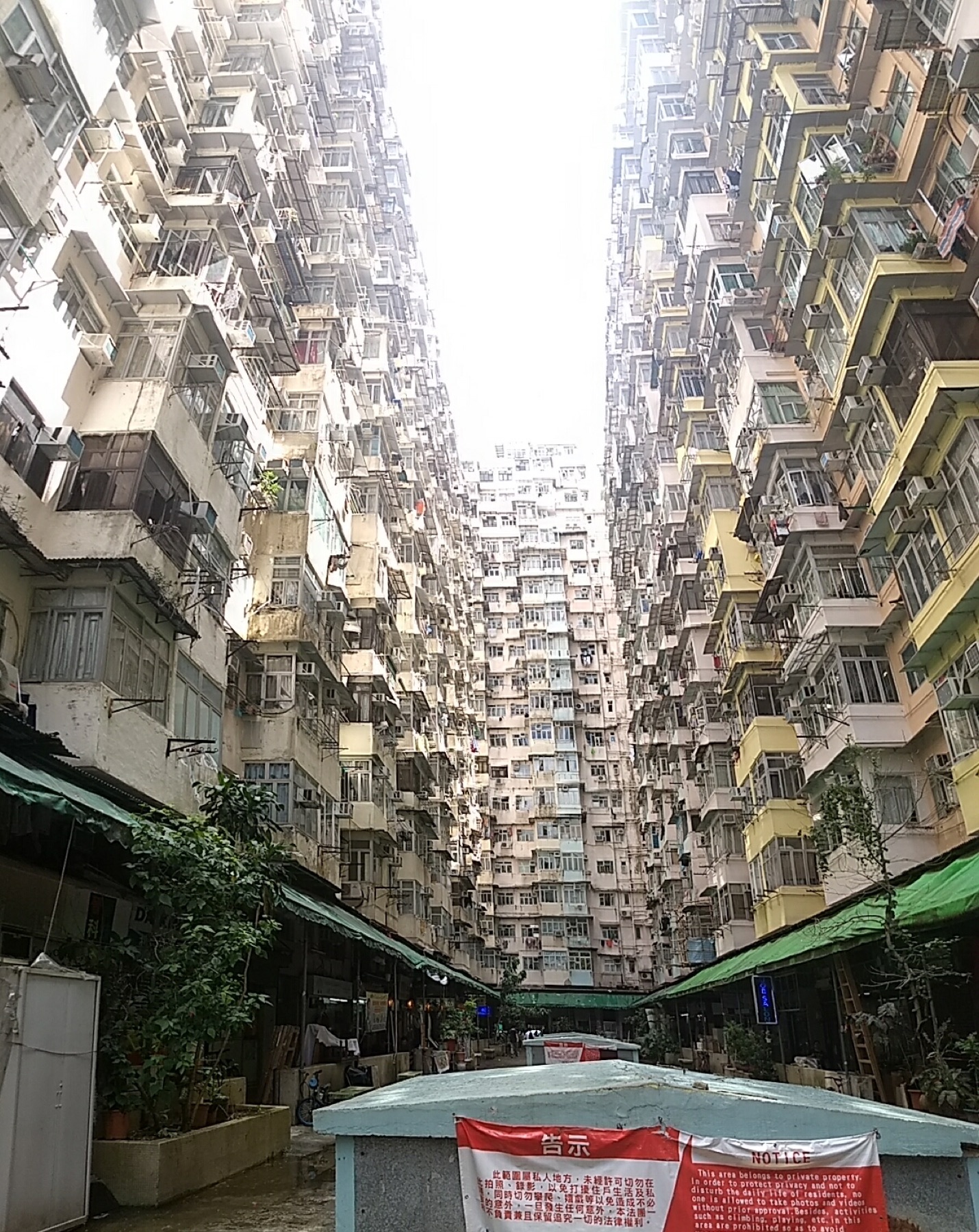
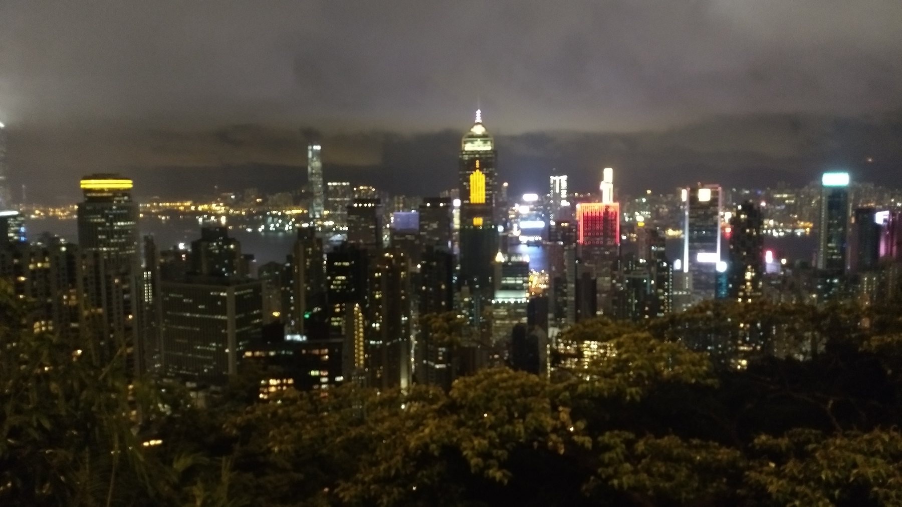
Victoria Harbour shaped Hong Kong's maritime economy and still organises its most recognisable views. The Star Ferry and waterfront promenades turn crossing into observation, while The Peak compresses harbour, Kowloon and distant hills into one panorama. At street level in Quarry Bay, density becomes physical: towers, trams and elevated roads reveal a city built through extreme negotiation with limited flat ground.
Designed calm at Diamond Hill
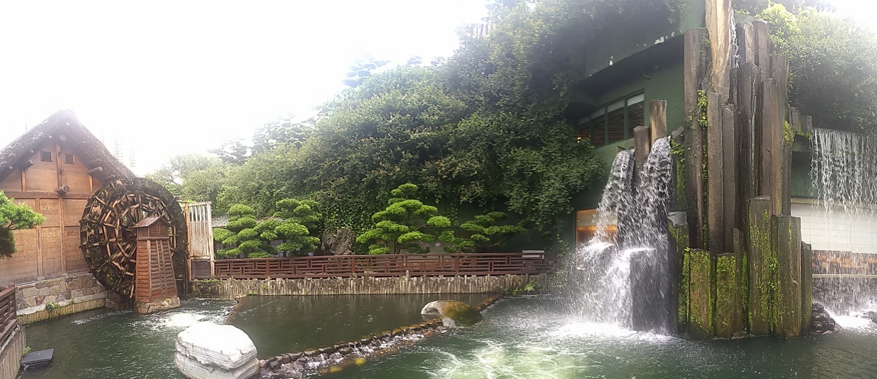
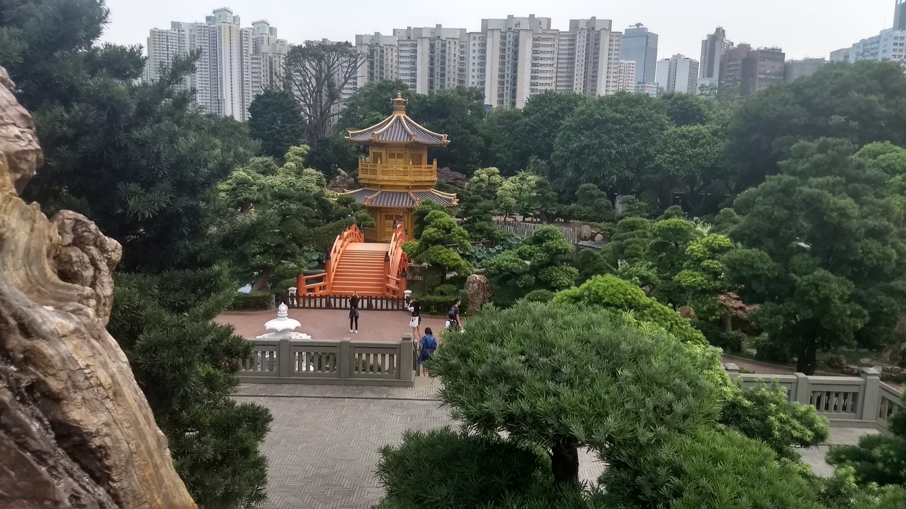
Chi Lin Nunnery and Nan Lian Garden form a carefully composed Buddhist and landscape ensemble beside high-rise Kowloon. Timber forms, ponds, rocks and controlled views produce calm without pretending the city has disappeared. The contrast is the experience: towers remain visible beyond walls, showing how contemplative space can be designed within metropolitan pressure.
Lantau's cable, monastery and bronze Buddha
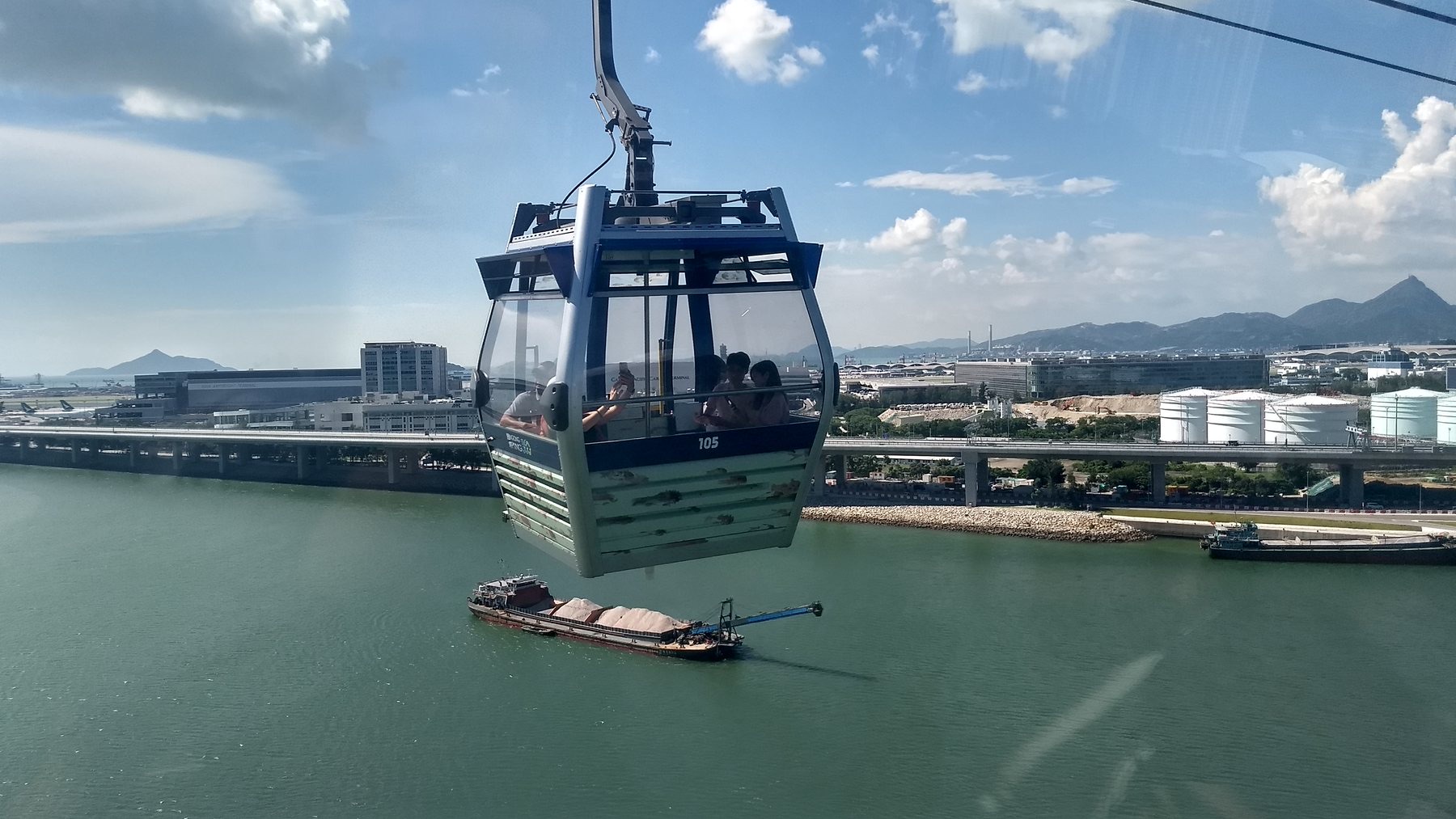
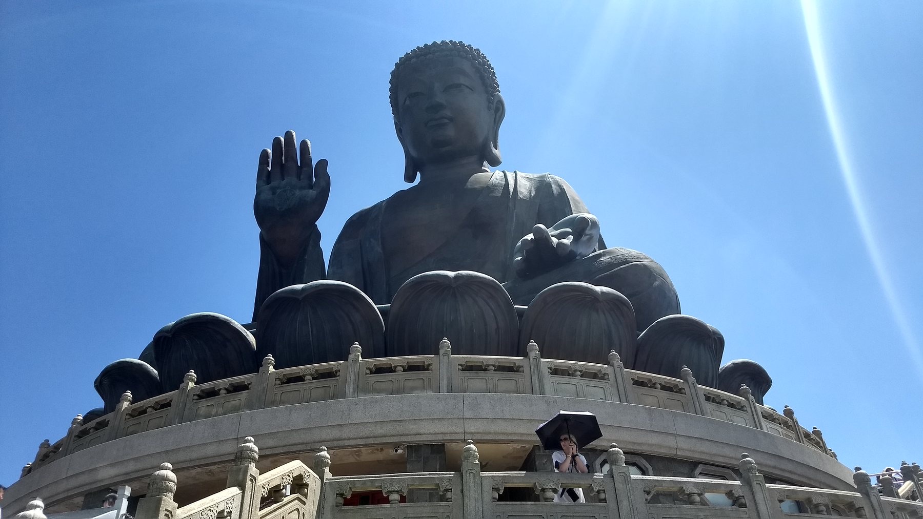
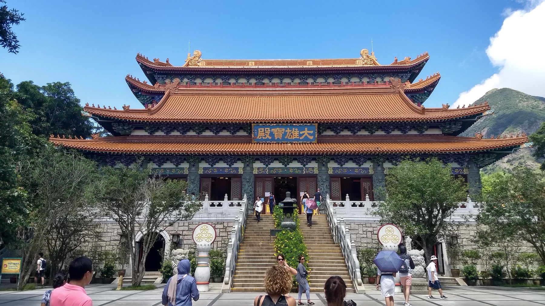
The Ngong Ping cable car crosses forested ridges to Po Lin Monastery and the Tian Tan Buddha. Hong Kong Tourism Board records the 34-metre bronze statue as opening in 1993. The site is both major attraction and active Buddhist precinct. Crowds, incense and mountain weather coexist, and a respectful visit distinguishes worship spaces from viewing platforms.
Reservoir paths and the south coast
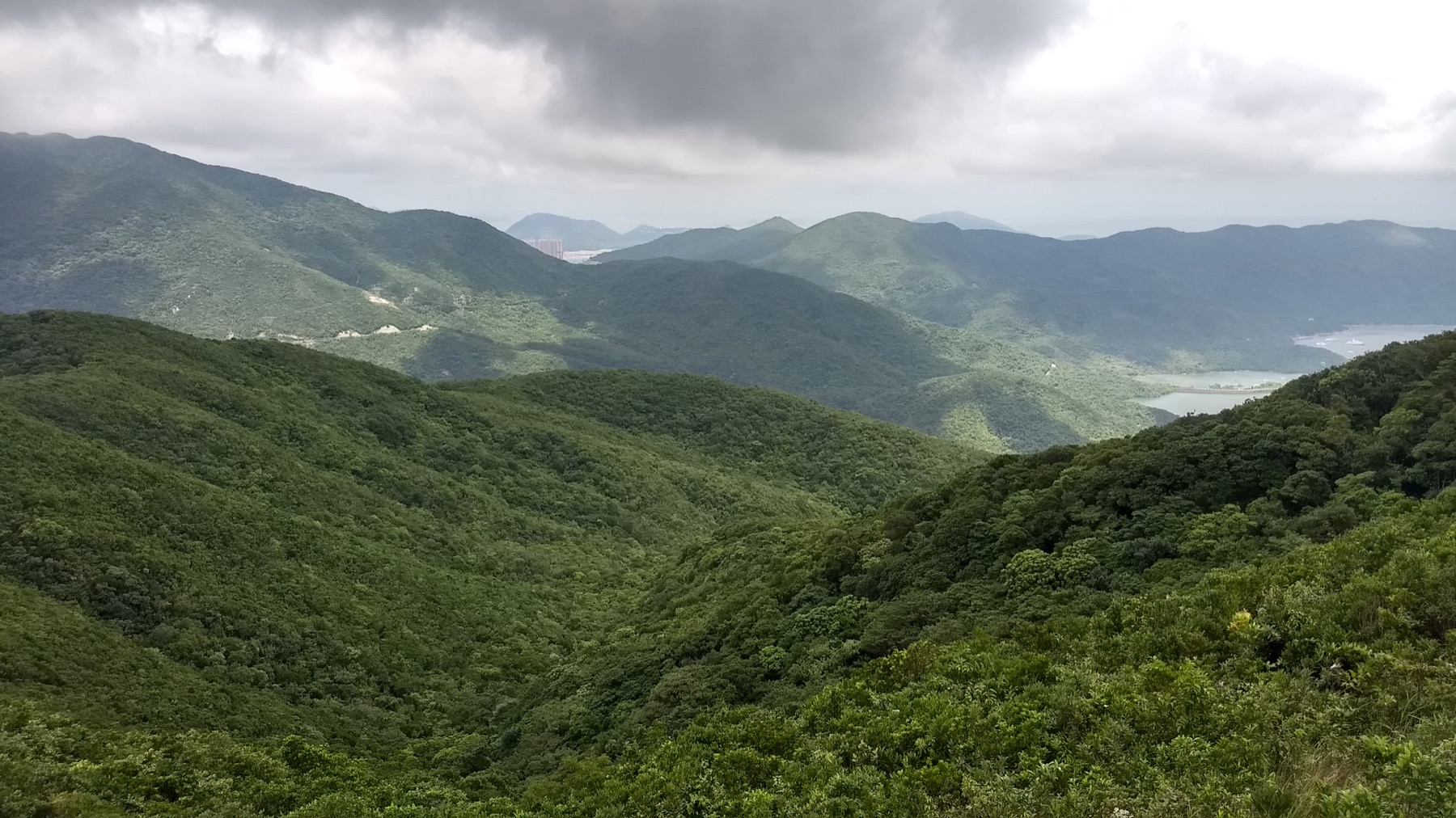
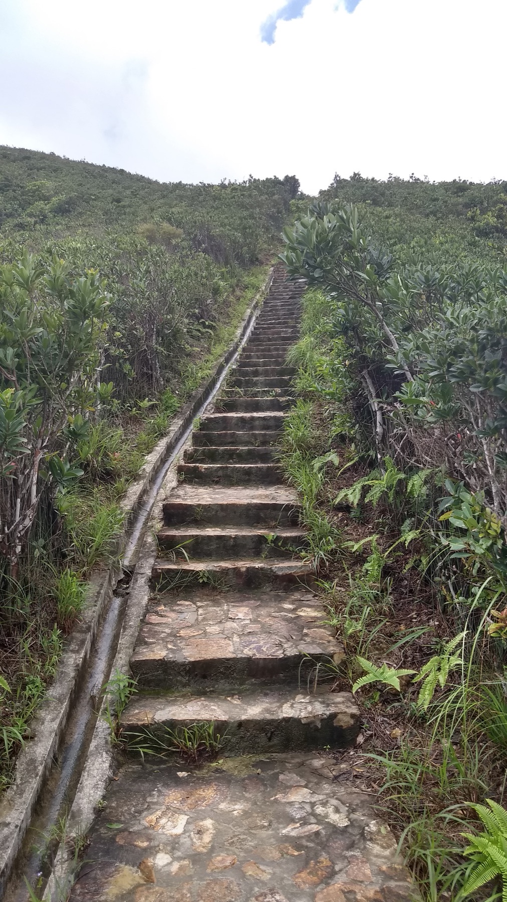
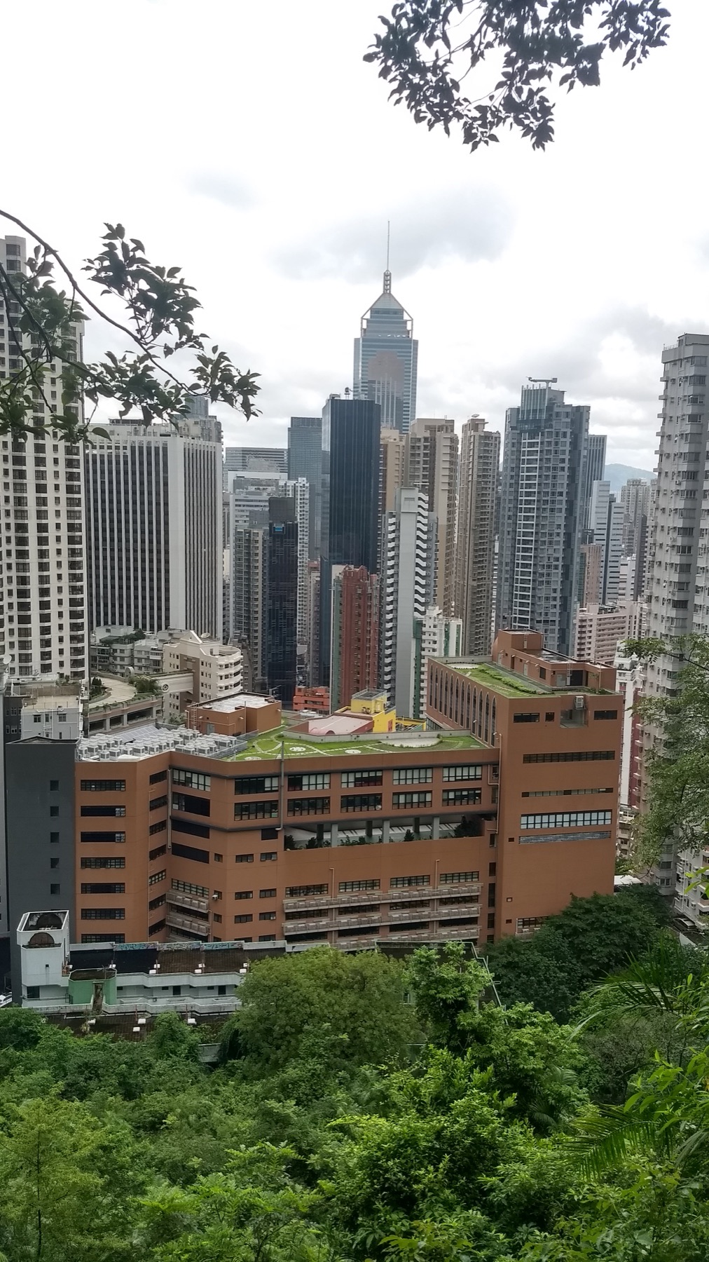
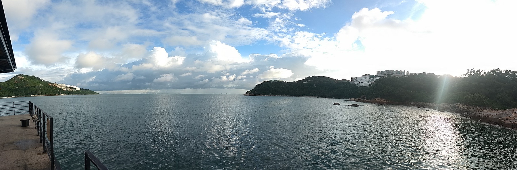
Tai Tam's dams, bridges and aqueducts show how water infrastructure opened routes through the hills. Bowen Road offers a gentler elevated walk, while Stanley brings the path back to sea level. These trails make Hong Kong's compactness an advantage: historic engineering, woodland and coastline remain accessible from dense neighbourhoods, provided heat, rain and route difficulty are taken seriously.
Research and planning sources
The historical notes above are paraphrased from the following official heritage and tourism resources. Opening hours, tickets, conservation closures, trail access and photography rules can change; check the linked authorities before travelling.
Places from the journey
Saved places
Viewpoint
Victoria Peak
Hong Kong Island's classic harbour and skyline viewpoint.
Open in Google Maps ↗Harbour and cityscape
Victoria Harbour
The waterway between Hong Kong Island and Kowloon.
Open in Google Maps ↗Sacred architecture
Chi Lin Nunnery
A Buddhist complex beside Nan Lian Garden in Diamond Hill.
Open in Google Maps ↗Sacred landmark
Tian Tan Buddha
The large bronze seated Buddha above Ngong Ping on Lantau.
Open in Google Maps ↗Trail and waterworks heritage
Tai Tam Reservoir
Historic reservoirs and hiking routes on eastern Hong Kong Island.
Open in Google Maps ↗Coast and neighbourhood
Stanley Promenade
A south-island waterfront backed by an active neighbourhood.
Open in Google Maps ↗