Travelled May 28, 2016 – January 28, 2017 · Published Aug 8, 2026 · 326 words
Kodachadri and Koodlu: monsoon paths in the Western Ghats
A 2016 mountain-and-waterfall journal from Kodachadri's high ridge to the forest approach at Koodlu Theertha.
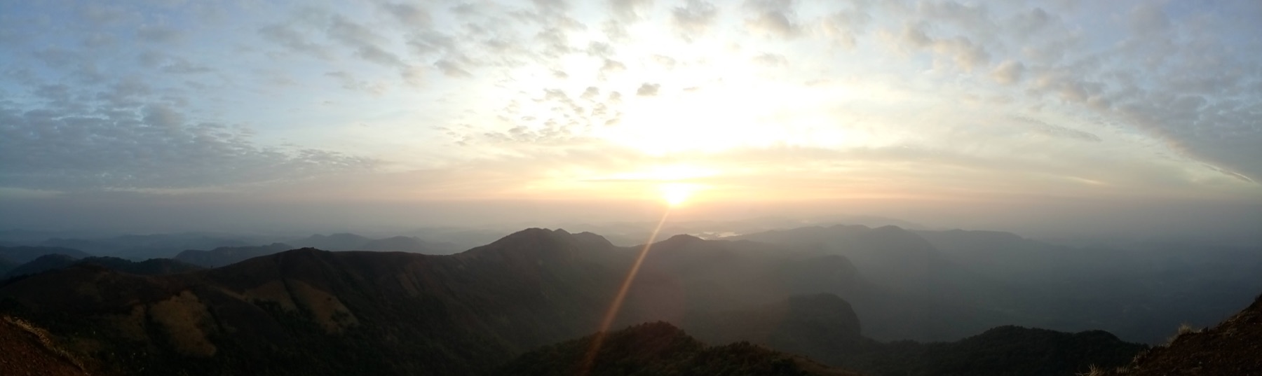
Journal entry
Notes from the journey
The Western Ghats rarely separate the destination from the approach. In this 2016 archive, Kodachadri is a sequence of forest, exposed ridge and moving cloud; Koodlu Theertha is a road that narrows into a footpath before water appears. The journal joins them as two expressions of the same monsoon-shaped terrain.
Archive note: the photographs in this journal come from Varghese Tony's personal travel collection. Historical context is independently researched from the authoritative sources linked at the end.
Climbing into changing weather
Kodachadri rises within the forested Mookambika landscape. The final ridge can shift quickly from long coastal views to mist and wind, which is part of its character and part of its risk. The small Sarvajna Peetha shrine gives the summit a sacred association, but the walk is equally memorable for transitions in vegetation and the feeling of the Arabian Sea lying beyond the western slopes.
A waterfall at the end of the forest
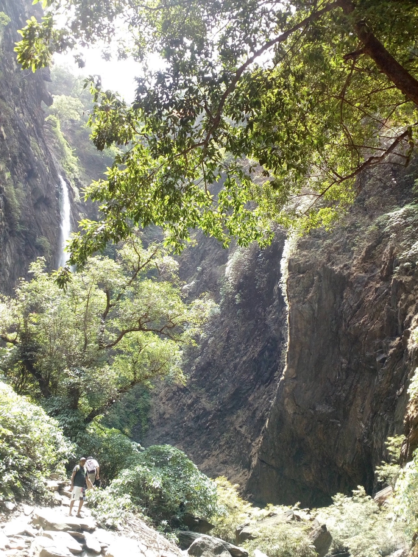
Koodlu Theertha gathers into a clean vertical drop over dark rock. The pool and narrow gorge concentrate sound and spray after the quieter approach through forest. Water levels and trail conditions vary enormously with rain, so the photograph is a record of one visit rather than a promise of identical conditions. Official access notices, local weather and forest restrictions should always guide a return.
Travel lightly in a living mountain system
These hills are biodiversity landscapes and sources of water, not merely scenic backdrops. Staying on established paths, carrying waste out, avoiding loud activity near wildlife and respecting temporary closures matter more here than collecting every viewpoint. The best memory from both places is the sense of entering a system larger than the trail.
Research and planning sources
The historical notes above are paraphrased from the following official heritage and tourism resources. Opening hours, tickets, conservation closures, trail access and photography rules can change; check the linked authorities before travelling.
Places from the journey
Saved places
Nature and viewpoint
Kodachadri Peak
A high Western Ghats ridge associated with the Mookambika landscape.
Open in Google Maps ↗Sacred viewpoint
Sarvajna Peetha
A small hilltop shrine on the final Kodachadri ridge.
Open in Google Maps ↗Waterfall
Koodlu Theertha Falls
A forest waterfall reached by a walking trail in Udupi district.
Open in Google Maps ↗