Travelled May 7, 2005 – April 27, 2011 · Published Aug 8, 2026 · 314 words
Kuwait City: towers, museums and the Sharq waterfront
A journal of Kuwait City's Gulf edge, moving from the national landmark of Kuwait Towers to museum galleries, modern interiors and evening along Sharq.
Journal entry
Notes from the journey
Kuwait City faces the Gulf with a skyline shaped by water infrastructure, oil-era modernity and rapid rebuilding. The photographs move from the national symbol of Kuwait Towers into museum galleries and back to the Sharq waterfront at sunset. They show a city whose history is held in both celebrated landmarks and the everyday public edge of the sea.
Archive note: the photographs in this journal come from Varghese Tony's personal travel collection. Historical context is independently researched from the authoritative sources linked at the end.
Water towers become a national landmark
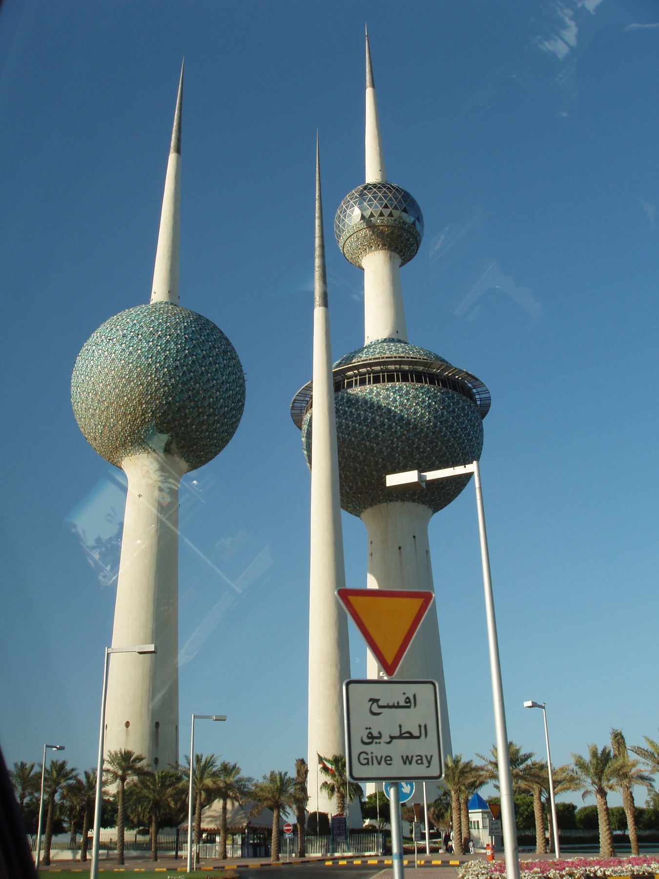
Kuwait Towers opened in the late twentieth century as part of a larger water-distribution system, but their slender forms and patterned spheres quickly became symbols of the state. Their position on Arabian Gulf Road turns infrastructure into skyline. The observation level, when open, explains the city's relationship to coast, reclaimed land and radial growth better than a ground-level photograph can.
Museums and the work of remembering
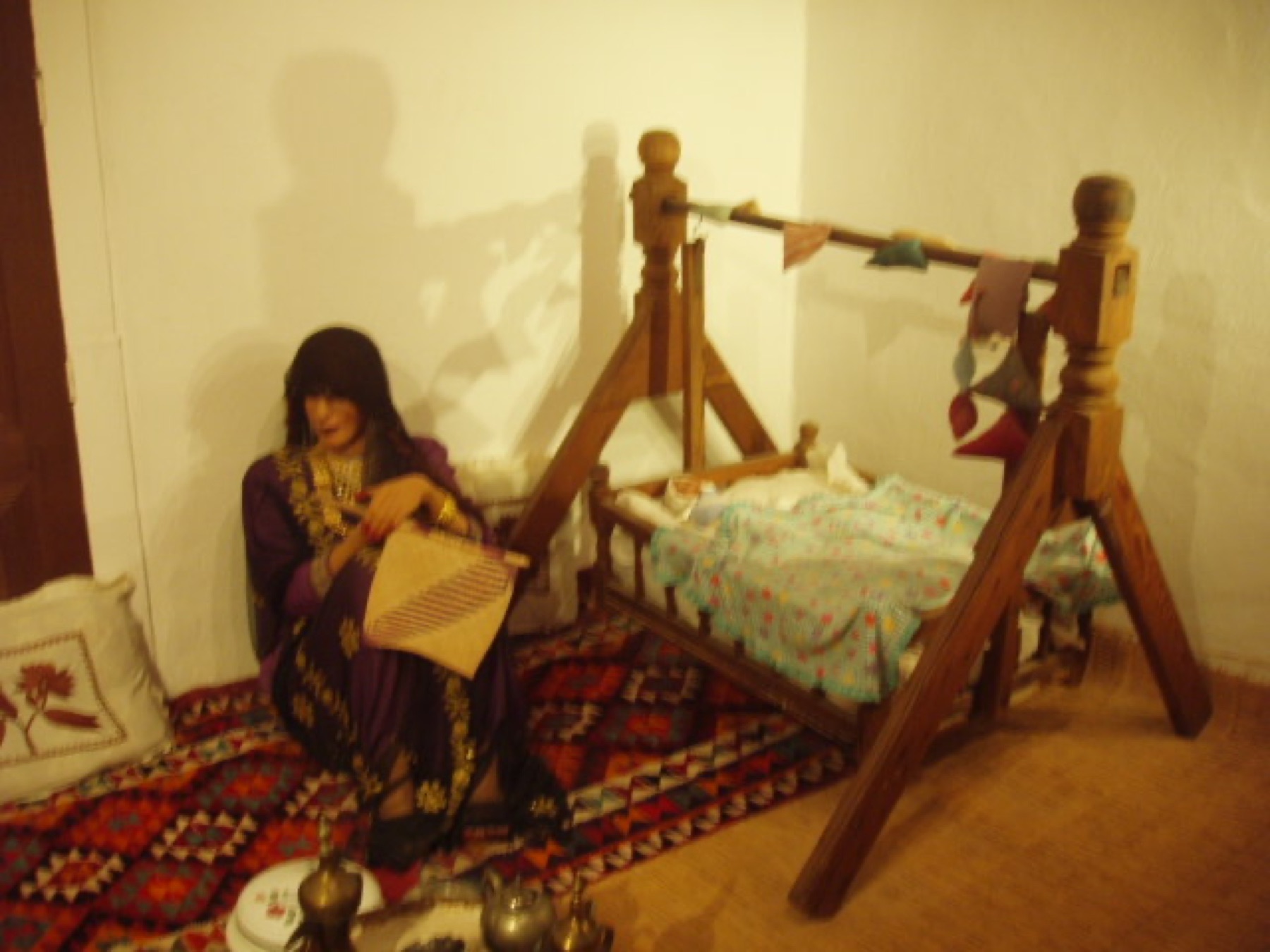
Kuwait National Museum connects archaeological material, maritime life and cultural history. Collections and opening arrangements have changed over time, especially following damage and loss during the 1990–91 Iraqi occupation. A current visit should therefore be guided by official listings rather than older itineraries. Nearby cultural institutions expand the story into art, performance and science.
Sharq at sunset
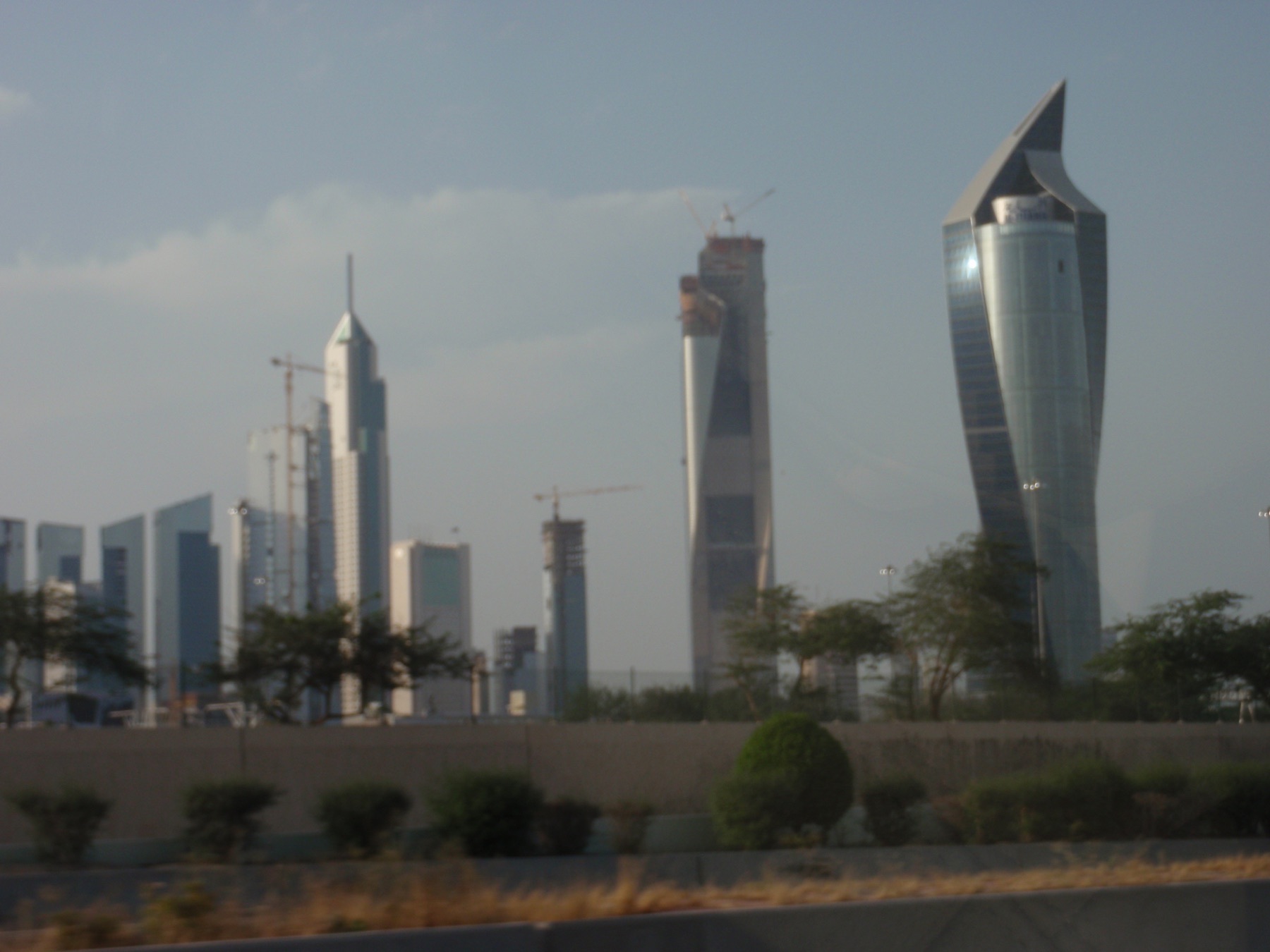
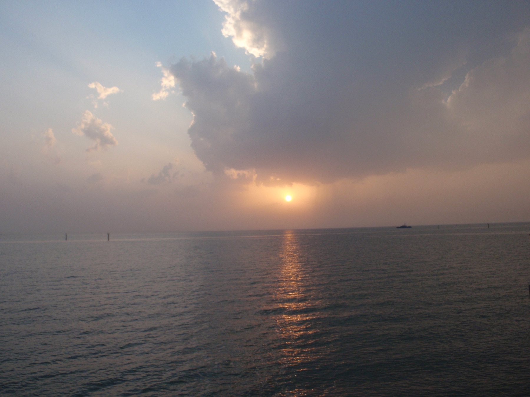
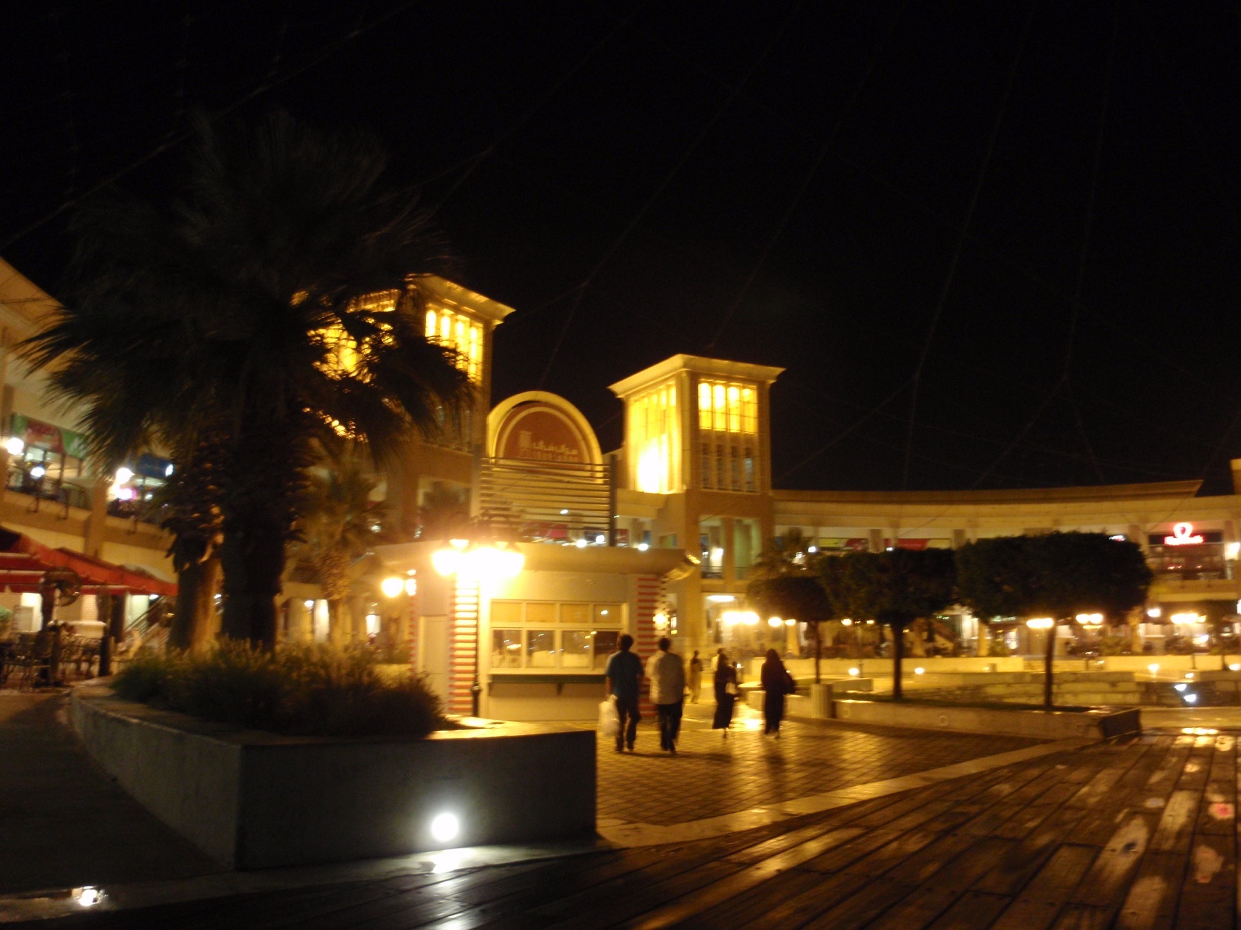
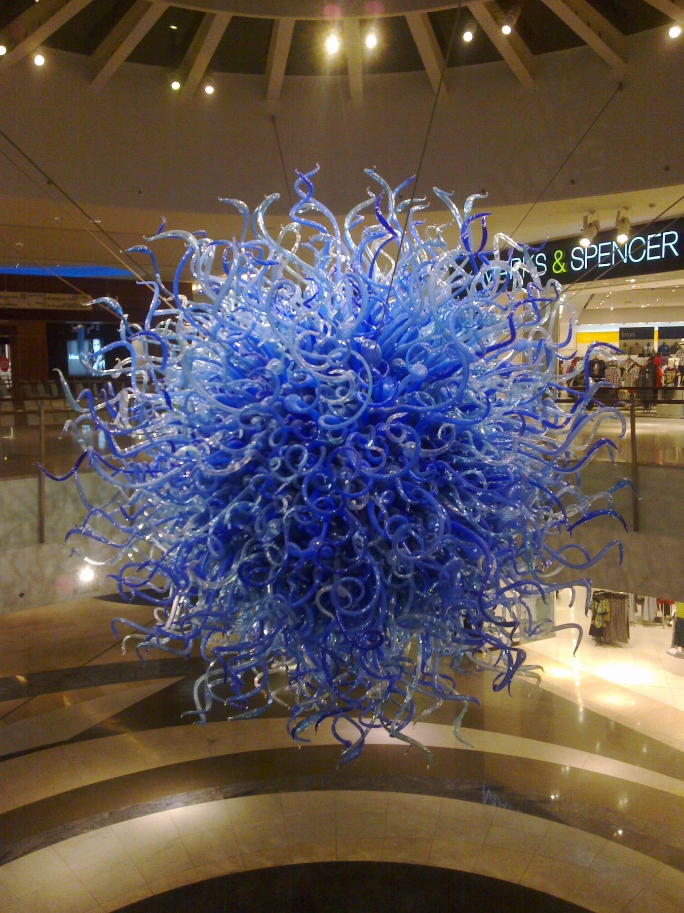
The waterfront is most legible in the evening, when heat eases and the public realm fills. Towers, fishing memories, parks and roads share the same edge. Modern commercial interiors belong to this journal too: Kuwait's contemporary identity is expressed through ambitious public and private architecture as much as through historic display.
Research and planning sources
The historical notes above are paraphrased from the following official heritage and tourism resources. Opening hours, tickets, conservation closures, trail access and photography rules can change; check the linked authorities before travelling.
Places from the journey
Saved places
Architecture and viewpoint
Kuwait Towers
The landmark water-tower group on Arabian Gulf Road.
Open in Google Maps ↗Museum and culture
Kuwait National Museum
National collections interpreting archaeology, heritage and modern history.
Open in Google Maps ↗Coast and cityscape
Sharq Waterfront
A Gulf-edge route east of the historic city centre.
Open in Google Maps ↗Park and museum
Al Shaheed Park
A major urban park containing museums and memorial landscapes.
Open in Google Maps ↗