Travelled December 8, 2012 – July 22, 2015 · Published Aug 8, 2026 · 297 words
Palakkad: from fort walls to Nelliyampathy cloud
A Kerala journal joining Palakkad Fort and Malampuzha with the winding climb into the plantation-and-forest landscape of Nelliyampathy.
Journal entry
Notes from the journey
Palakkad sits at a major gap in the Western Ghats, a geography that has shaped movement, agriculture and military history. The archive moves from the compact order of Palakkad Fort to Malampuzha's managed water and then upward into Nelliyampathy, where plantations, forest and monsoon weather share the slopes.
Archive note: the photographs in this journal come from Varghese Tony's personal travel collection. Historical context is independently researched from the authoritative sources linked at the end.
A fort at the gateway
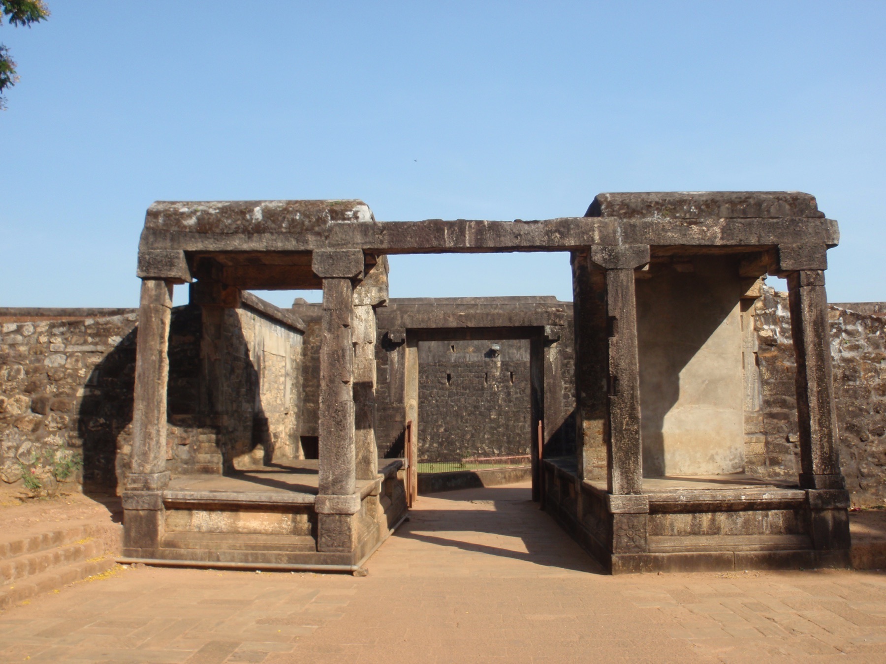
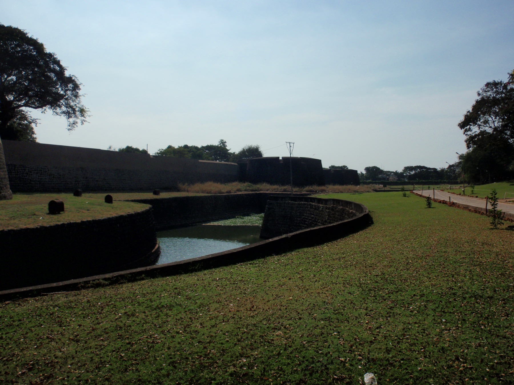
Palakkad Fort is associated with Hyder Ali's eighteenth-century expansion and was later taken and modified by the British. Its square granite form, bastions and moat remain unusually clear within the modern city. The fort's location matters: the Palakkad Gap has long been a corridor between Kerala and the Tamil plains, so control of movement was as important as control of the town.
Malampuzha and the engineered landscape
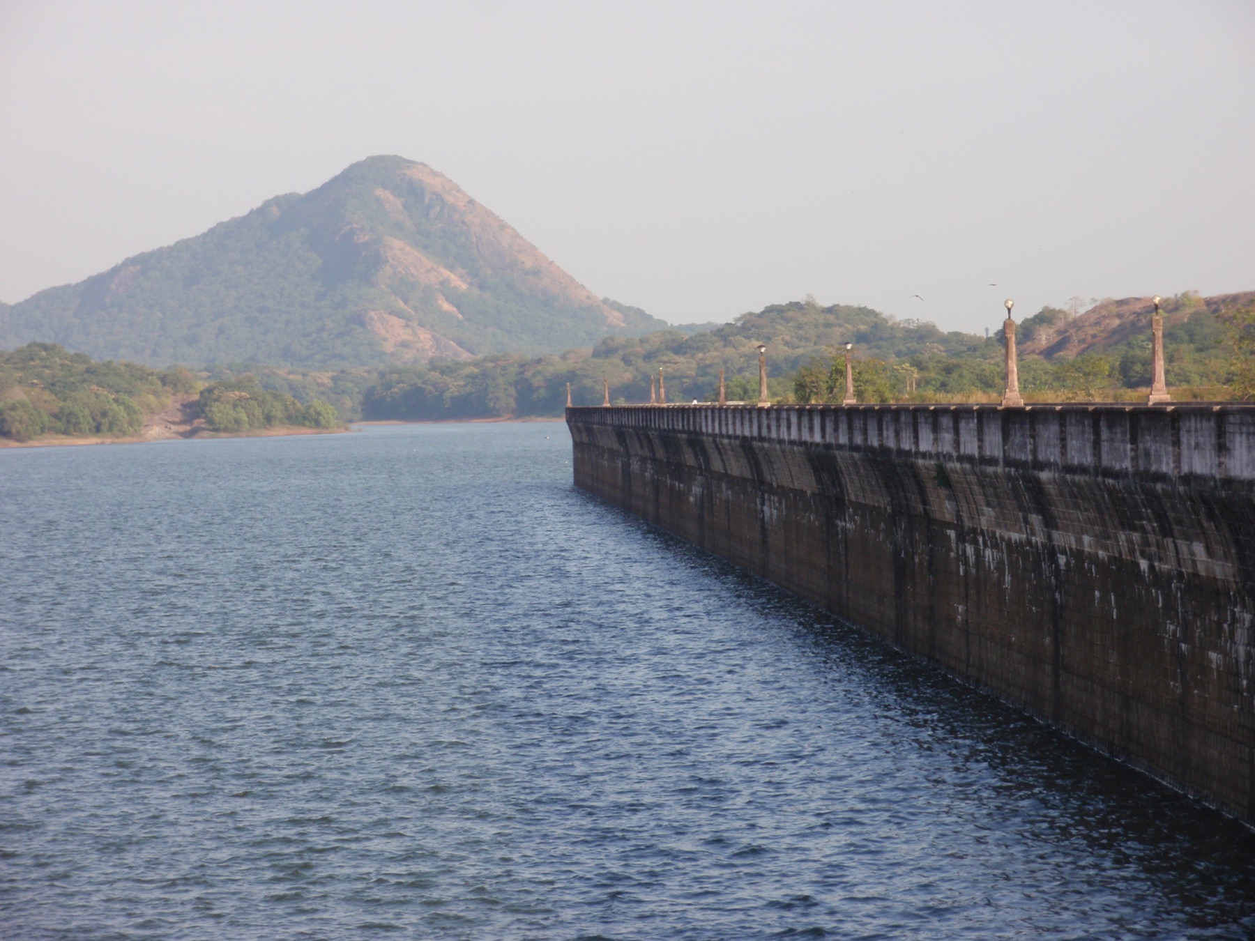
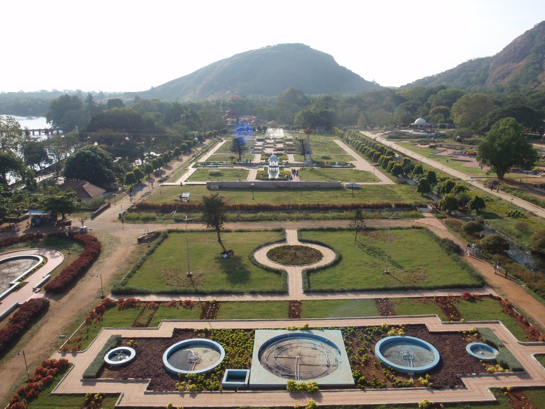
Malampuzha combines reservoir infrastructure with a large public garden. The hills behind the water give it a dramatic setting, yet the landscape is intentionally managed rather than wild. Reading the dam alongside irrigation and regional water needs makes the visit more meaningful than treating it only as a picnic stop.
The climb to Nelliyampathy
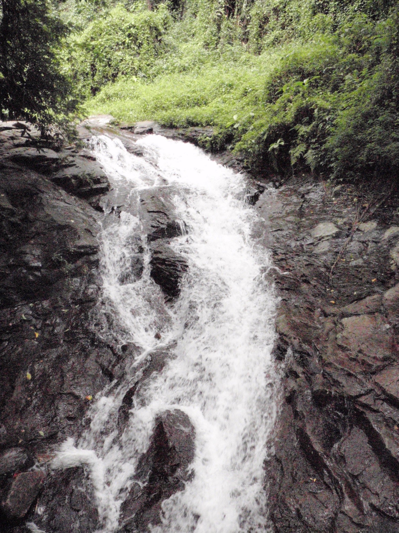
The road into Nelliyampathy climbs through forest edges and plantation country to viewpoints along the escarpment. Tea, coffee and other crops occupy parts of the plateau, while protected forests remain ecologically important. Monsoon rain can transform small cascades and reduce visibility quickly. Slow driving, local access advice and respect for wildlife corridors are essential.
Research and planning sources
The historical notes above are paraphrased from the following official heritage and tourism resources. Opening hours, tickets, conservation closures, trail access and photography rules can change; check the linked authorities before travelling.
Places from the journey
Saved places
Heritage fort
Palakkad Fort
An eighteenth-century granite fort later modified under British rule.
Open in Google Maps ↗Dam and garden
Malampuzha Dam
A reservoir and public garden north of Palakkad city.
Open in Google Maps ↗Nature and plantation landscape
Nelliyampathy Hills
A Western Ghats hill region reached through forest and plantation roads.
Open in Google Maps ↗Viewpoint
Seetharkundu View Point
A high escarpment view from the Nelliyampathy plateau.
Open in Google Maps ↗