Travelled April 14, 2017 – February 24, 2018 · Published Aug 8, 2026 · 328 words
Puducherry: lanes, thresholds and the Bay of Bengal
A walk through Puducherry's French and Tamil quarters, the long promenade and Auroville's experimental landscape.
Journal entry
Notes from the journey
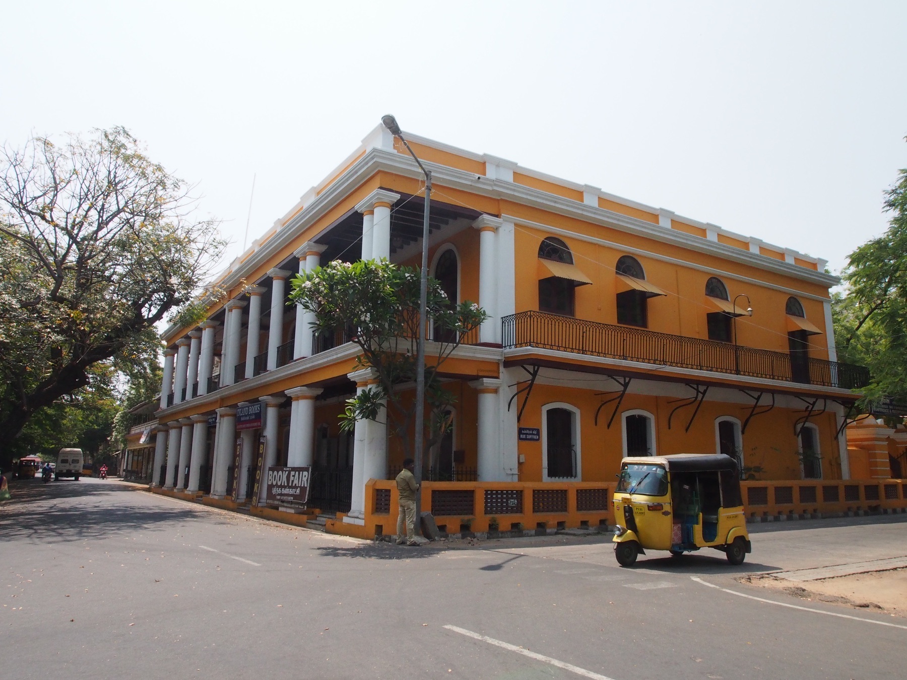
Puducherry is best understood on foot, where street width, wall colour, shade and the smell of the sea change from block to block. The photographs follow the former French quarter, adjacent Tamil neighbourhoods and the promenade before travelling north to Auroville. Together they reveal a place shaped by colonial rule, local continuity and later experiments in community.
Archive note: the photographs in this journal come from Varghese Tony's personal travel collection. Historical context is independently researched from the authoritative sources linked at the end.
Reading the quarters at walking pace
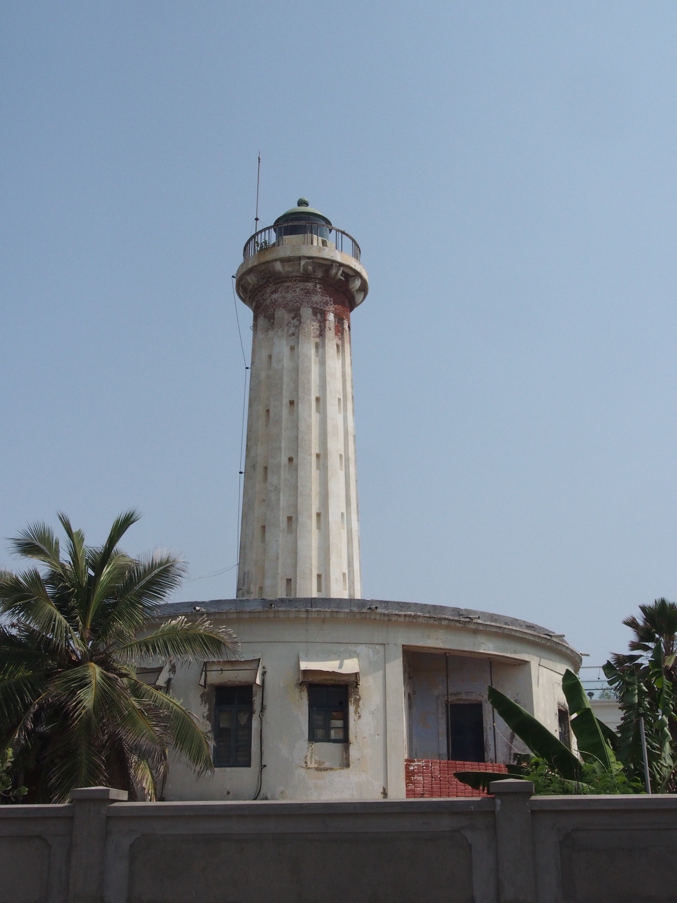
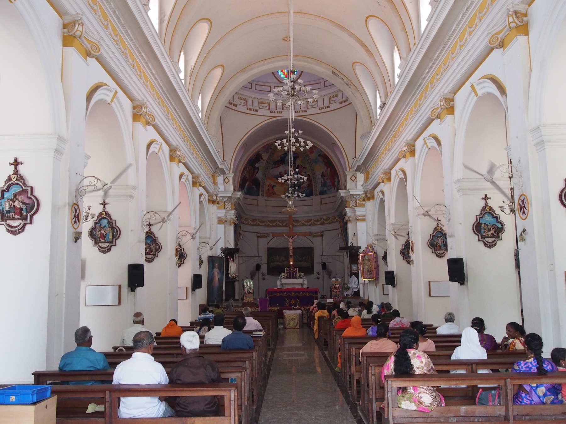
The gridded streets near the seafront contain villas, churches, schools and public buildings associated with French administration, but the heritage city is not a sealed European enclave. Tamil domestic forms, active temples, markets and everyday adaptations continue across the boulevard divide. Restored façades are most interesting when read alongside thresholds, courtyards and street trees that make the tropical city habitable.
A public edge facing the sea
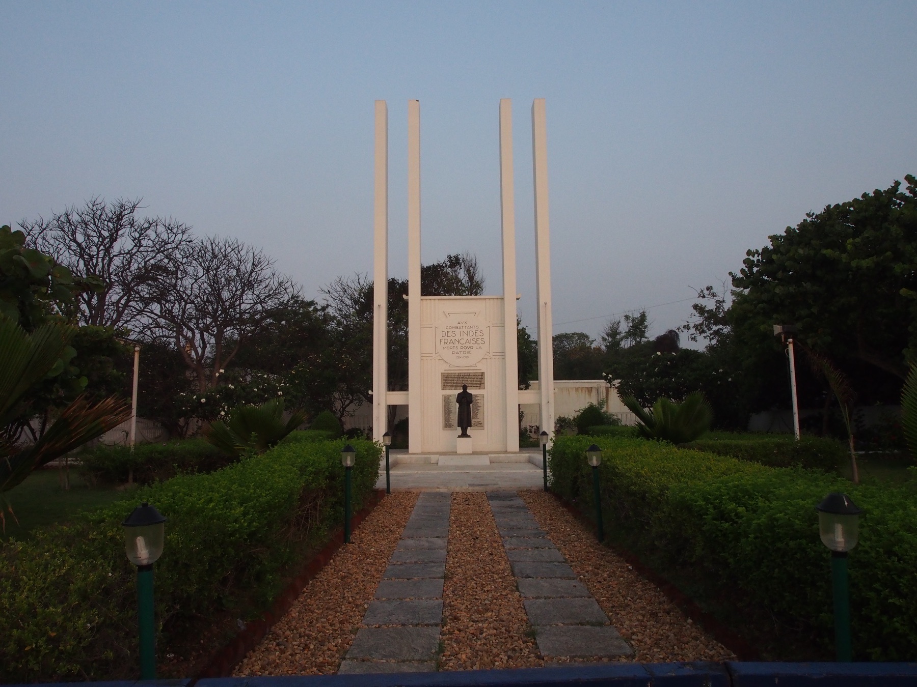
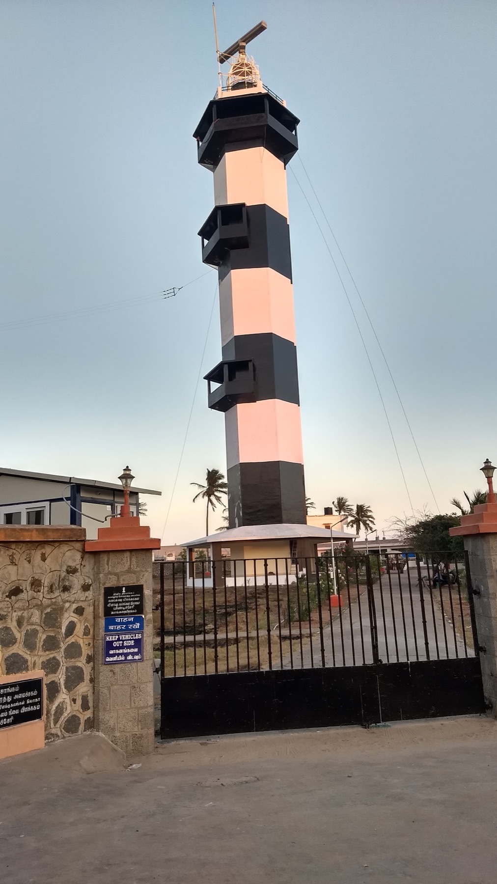
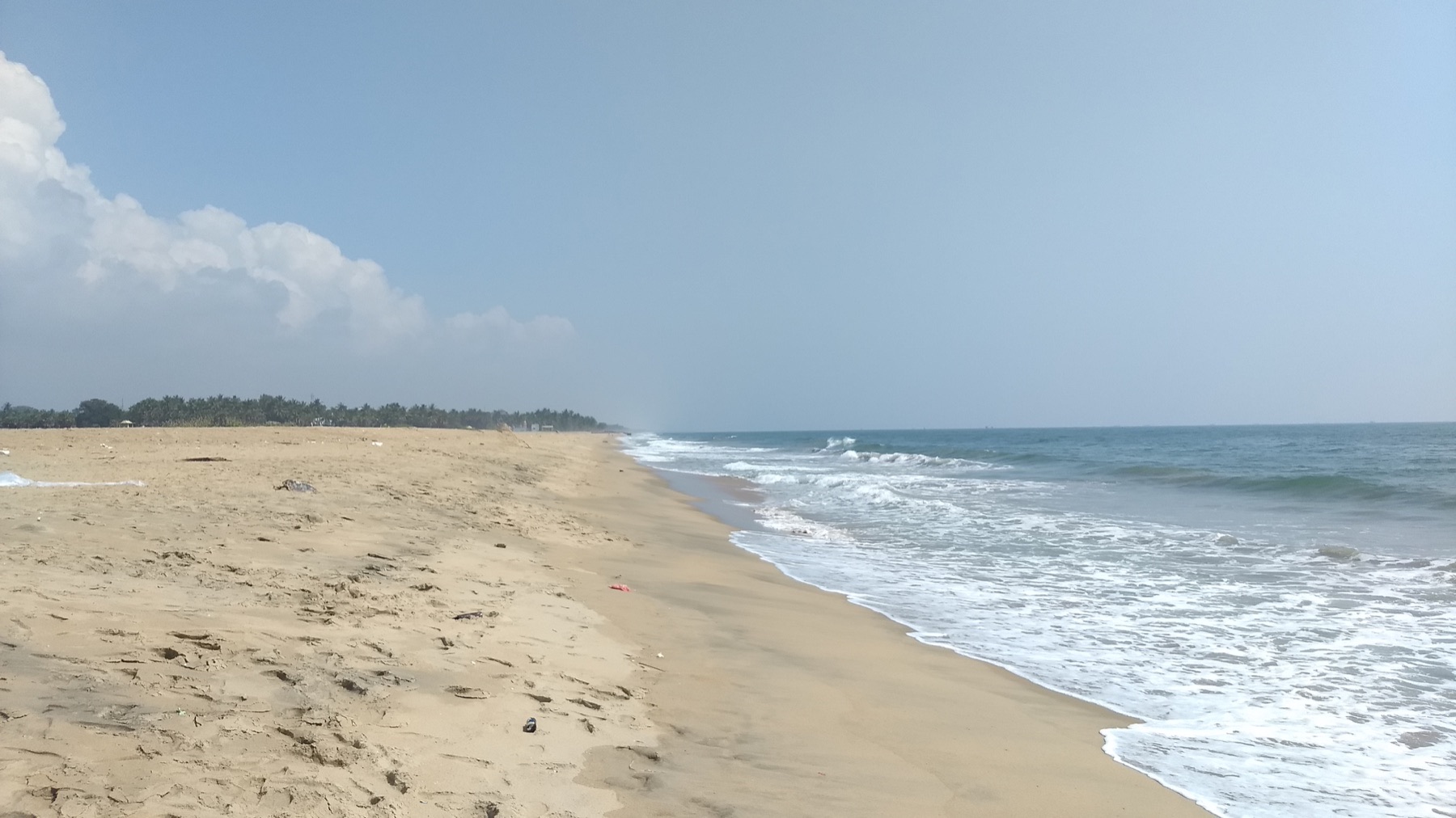
Goubert Avenue changes through the day. At dawn it feels almost architectural, a long line between town and water. By evening it becomes a social room filled with walkers, families and vendors. The rocky shore is not a conventional swimming beach; its value lies in the shared promenade and the uninterrupted Bay of Bengal horizon.
Auroville beyond the golden sphere
Auroville was founded in 1968 as an international township inspired by the vision of Mirra Alfassa, known as the Mother. Matrimandir is its visual centre, but visitor access is deliberately managed and the wider project includes reforestation, settlement and ongoing debate about governance and growth. It deserves more than a quick photograph: reservations, silence and respect for residential areas are part of a responsible visit.
Research and planning sources
The historical notes above are paraphrased from the following official heritage and tourism resources. Opening hours, tickets, conservation closures, trail access and photography rules can change; check the linked authorities before travelling.
Places from the journey
Saved places
Heritage district
French Quarter Puducherry
Tree-lined streets and institutional buildings in the former French colonial quarter.
Open in Google Maps ↗Coast and public space
Rock Beach Puducherry
The pedestrian seafront and Goubert Avenue.
Open in Google Maps ↗Park and civic heritage
Bharathi Park
A green civic space ringed by important public buildings.
Open in Google Maps ↗Architecture and reflection
Matrimandir
Auroville's central meditation space, visited under its access rules.
Open in Google Maps ↗