Travel archive · 2000–2016 · place coverage updated August 2026
Kerala: every district, many ways to travel
Move through all 14 districts and 32 city or travel-area journals. Verified district boundaries now lead to searchable local maps of heritage, museums, nature, cafés, pubs, restaurants, and practical travel possibilities, layered with Gander’s own photographs and remembered journeys.
Reading a familiar state
The route is personal, layered, and spread across years
Kerala appears in the archive earlier and more often than most destinations: Wayanad in 2000; Athirappilly and Cherai in 2007; Palakkad, Malampuzha, Nelliyampathy, and Poomala in 2012; Nilambur and Kakkayam in 2015; Kochi and its Biennale in 2016. Public review text adds the everyday layer—where a meal worked, how a dining room felt, and what practical friction remained.
Those two kinds of evidence should not be flattened into a generic checklist. The dated photographs record older journeys. The restaurant reviews capture a specific visit and may not describe the venue today. Together, however, they reveal a route that moves naturally between art, food, water, forest, and hills.
Country → state → district → city
All 14 Kerala districts now lead to local city maps
The Explore hierarchy follows Kerala’s official district list. Select India, then Kerala, then a district boundary, and finally a city or practical travel area. The city maps combine durable visitor places with a curated selection of mapped food and nightlife leads. A listing is not an endorsement: opening hours, access, price, safety, and continued operation must be checked before visiting.
Thiruvananthapuram district
Capital culture, beaches, cliffs, and the Neyyar hills
Thiruvananthapuram
Museums, royal and sacred heritage, markets, restaurants, cafés, and city parks.
Open city mapKovalam
Lighthouse, Hawa, and Samudra beaches with coastal walks and seafood dining.
Open city mapVarkala
Cliff coast, beach cafés, pilgrimage heritage, and a slower seaside base.
Open city mapNeyyar Dam
Reservoir viewpoints and forest-edge travel east of the capital.
Open city mapKollam district
Port history and Ashtamudi’s waterways
Kollam
Historic port, lake gateway, beach, markets, sacred sites, cafés, and restaurants.
Open city mapMunroe Island
Village canals, coconut groves, small-boat journeys, and low-key backwater stays.
Open city mapPathanamthitta district
River country, Aranmula heritage, pilgrimage, and forest
Pathanamthitta and Aranmula
Aranmula’s temple and metal-mirror traditions, museums, river landscapes, and gateways toward forest country.
Open city mapAlappuzha district
Canals, coast, ferries, and Kuttanad’s paddy landscape
Alappuzha and Kuttanad
Backwater routes, public ferries, beach, village food, and waterside settlements.
Open city mapKottayam district
Wetlands, churches, villages, and the foothill road
Kottayam and Malarikkal
City services, heritage churches, local dining, wetlands, and seasonal water lilies.
Open city mapKumarakom
Vembanad Lake, birding, village waterways, responsible boating, and waterside dining.
Open city mapIdukki district
High ranges, tea, spice, reservoirs, and protected forest
Munnar
Tea landscapes, museums, viewpoints, cafés, and shola-grassland ecology.
Open city mapPeriyar and Thekkady
Guided forest activity, wildlife viewing, spice gardens, and local dining.
Open city mapVagamon
Grass hills, viewpoints, pine plantations, and small highland cafés.
Open city mapIdukki and Thodupuzha
Reservoir country, dam landscapes, hill towns, waterfalls, and practical food stops.
Open city mapErnakulam district
Harbour city, islands, art, and the Periyar corridor
Kochi
Port heritage, museums, contemporary art, cafés, restaurants, pubs, and markets.
Open city mapCherai and Vypin
Island coast, beach, backwaters, fishing villages, and seafood dining.
Open city mapAluva and Kalady
River towns linking sacred and cultural heritage with markets, transport, cafés, and restaurants.
Open city mapThrissur district
Culture, pilgrimage, old ports, and the Chalakudy river
Thrissur
Museums, sacred architecture, festival grounds, restaurants, cafés, and gathering places.
Open city mapAthirappilly
Waterfall and forest landscapes where river safety and current access matter.
Open city mapGuruvayur
Pilgrimage culture, traditional dining, Punnathur Kotta, and nearby coast.
Open city mapKodungallur and Muziris
Museums, archaeology, multi-faith landmarks, waterways, and old port settlements.
Open city mapPalakkad district
Fort town, plains, reservoirs, forests, and plantation hills
Palakkad
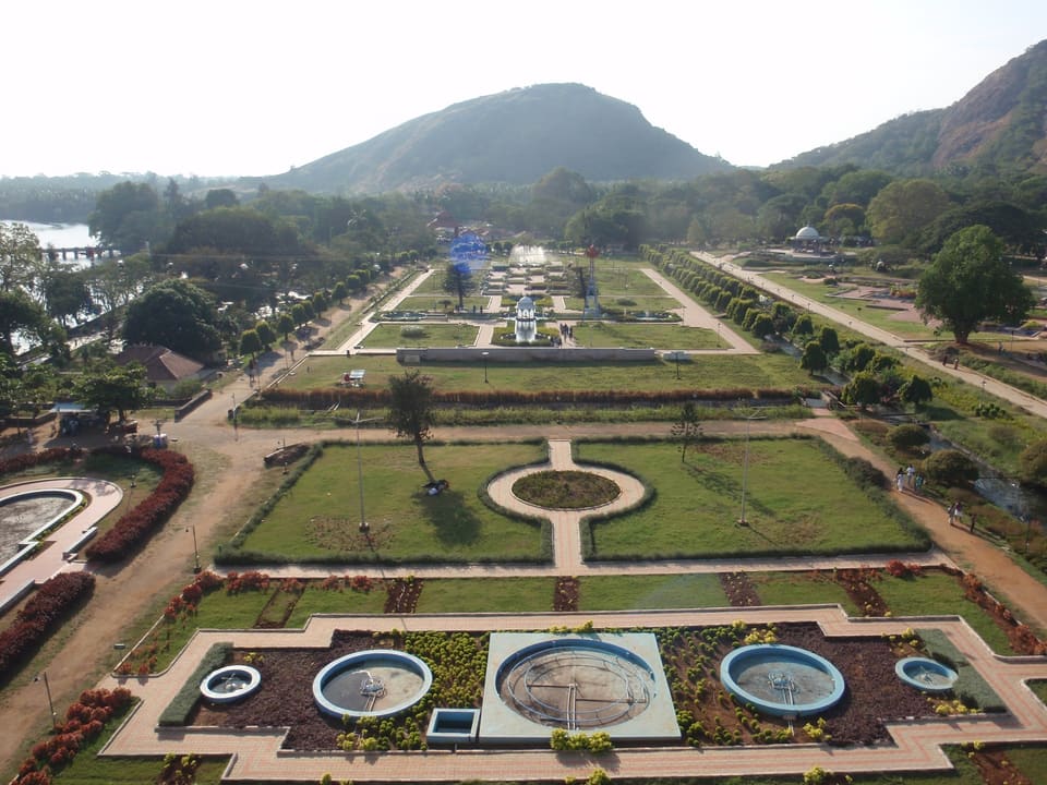
Fort, markets, restaurants, reservoir gardens, and the Palakkad Gap landscape.
Open city mapNelliyampathy
Forest and plantation roads, mist, viewpoints, and monsoon cascades.
Open city mapMalappuram district
Malabar food, teak country, rivers, pilgrimage, and port history
Nilambur
Teak landscapes, museums, forest-edge travel, the Chaliyar basin, and local food.
Open city mapMalappuram and Ponnani
Cuisine, pilgrimage centres, museums, rivers, estuary, coast, and port history.
Open city mapKozhikode district
Trading-city food, craft coast, and forested reservoir roads
Kozhikode and Kappad
Malabar food, cafés, museums, markets, Beypore craft, and the historic coast.
Open city mapKakkayam
Reservoir, forest, rock, viewpoints, and a daylight-conscious hill road.
Open city mapWayanad district
Forests, archaeology, cultivated hills, and Indigenous heritage
Kalpetta and central Wayanad
Lakes, waterfalls, museums, cafés, restaurants, and a practical highland base.
Open city mapSultan Bathery
Edakkal’s archaeology, Jain heritage, caves, wildlife corridors, and market-town services.
Open city mapKannur district
Forts, Theyyam, weaving, bakeries, and the north-Malabar coast
Kannur and Thalassery
Forts, museums, performance traditions, cafés, restaurants, weaving, and Muzhappilangad beach.
Open city mapKasaragod district
Seaside fort, sacred sites, rivers, beaches, and laterite hills
Bekal
Seaside fort, beaches, northern Kerala coast, and nearby dining.
Open city mapKasaragod
Sacred places, laterite landscapes, beaches, cafés, restaurants, and multilingual local culture.
Open city mapHarbour and city
Kochi works as an art walk and a food trail
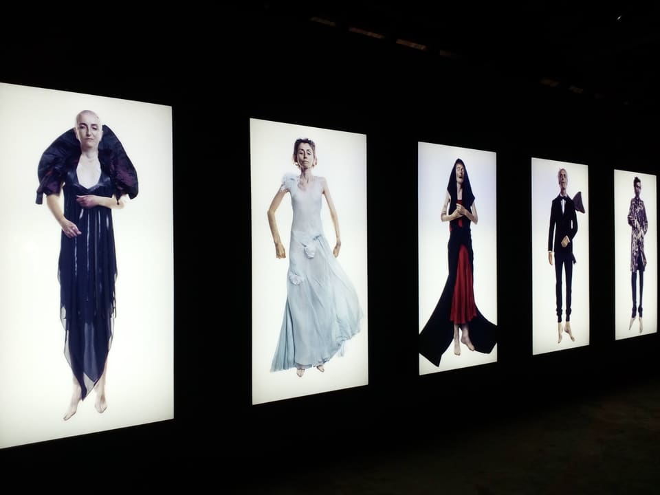
The December 2016 photographs record the Kochi-Muziris Biennale as a journey through darkened rooms, repurposed buildings, moving images, and large-scale installations. The venues made the city part of the exhibition: Fort Kochi’s layered port history was not outside the art but constantly visible between it.
A later indexed review of Palaaram in Kadavanthra remembers traditional Kerala food presented in a more contemporary dining room. Duck and mutton dishes, confident spicing, and a broad local menu stood out; slower service and roadside parking were the practical limitations. That balance is useful: a field note should preserve both the reason to return and the inconvenience to plan around.
Fort Kochi morning
Walk slowly enough to notice the port-city fabric between galleries and heritage buildings.
Biennale venues
When an edition is running, check the official venue list; the programme changes each time.
Mattancherry
Continue through streets where warehouses, places of worship, shops, and homes share the route.
City dinner
Move inland for a local meal, allowing extra time for traffic and parking.
A familiar city table
Thrissur appears through places made for gathering
An indexed review of C’sons RepEat describes a lively, modern restaurant with a broad menu that worked well for a family outing. Limited parking is again part of the memory, not an afterthought. Another publicly indexed contribution points to Ascot Lounge, adding to the sense of Thrissur as a recurring social base rather than a one-time sightseeing stop.
The map therefore highlights the wider city area instead of pretending that one restaurant defines it. Future entries can grow around the same principle: add a specific firsthand note, preserve its date and context, and connect it to the neighbourhood rather than building an unranked list.
Through the Palakkad Gap
Fort, reservoir, and open lowland form one landscape
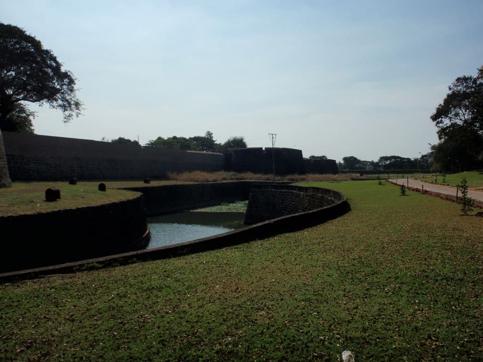
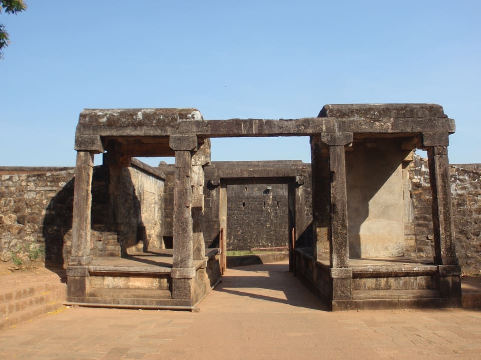
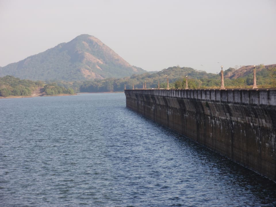
The 2012 archive links Palakkad Fort with Malampuzha Dam and the road toward Nelliyampathy. They are different kinds of destinations, but the geography joins them: the broad break in the Western Ghats opens long views, channels travel between Kerala and Tamil Nadu, and makes the climb into the hills feel especially dramatic.
Palakkad is best used as a base rather than compressed into a quick stop. Keep the fort and town at walking pace, the reservoir as a separate excursion, and a full daylight window for any hill road.
Hill country
Nelliyampathy begins on the road upward
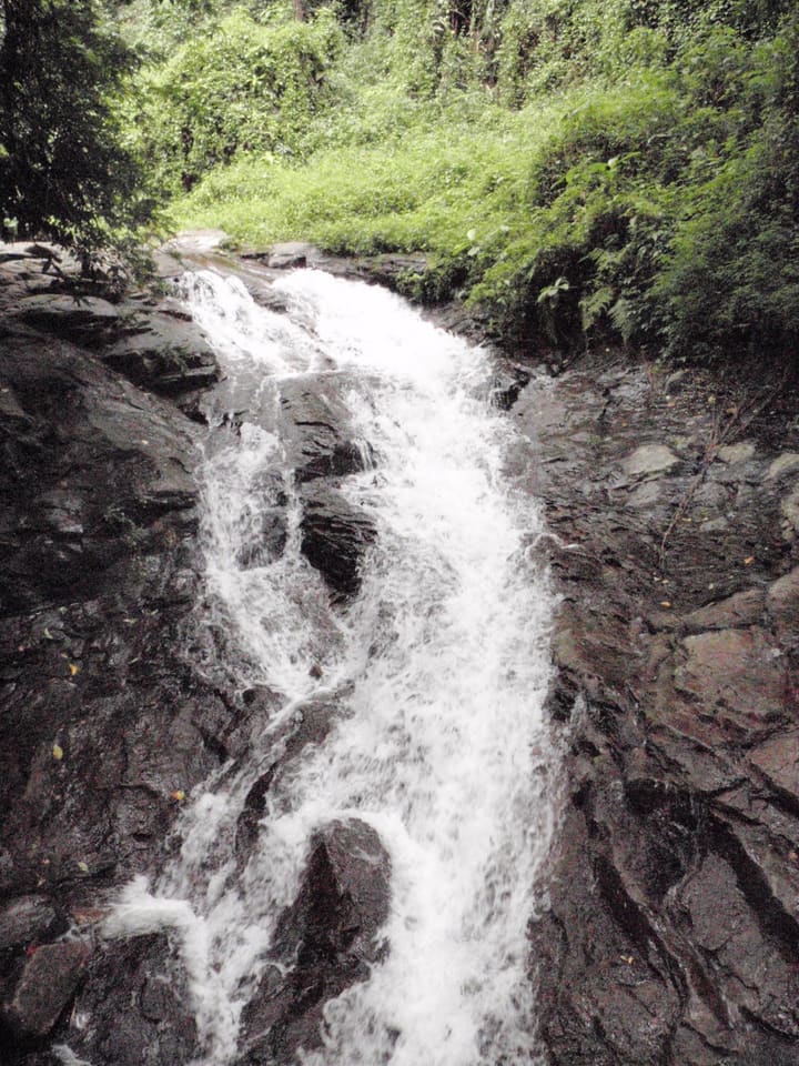
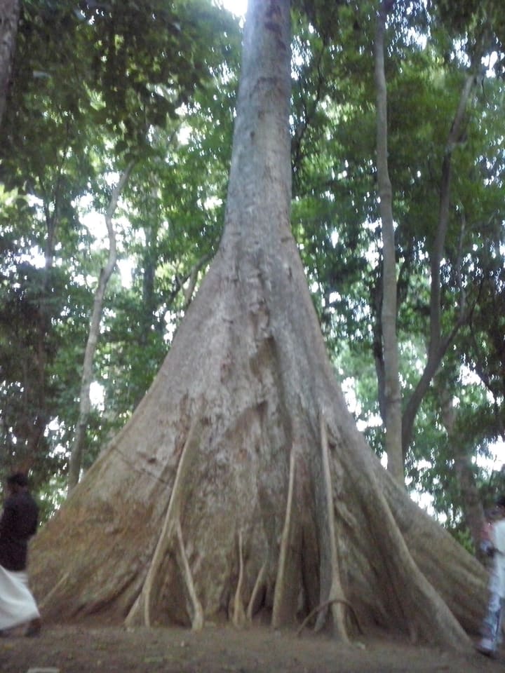
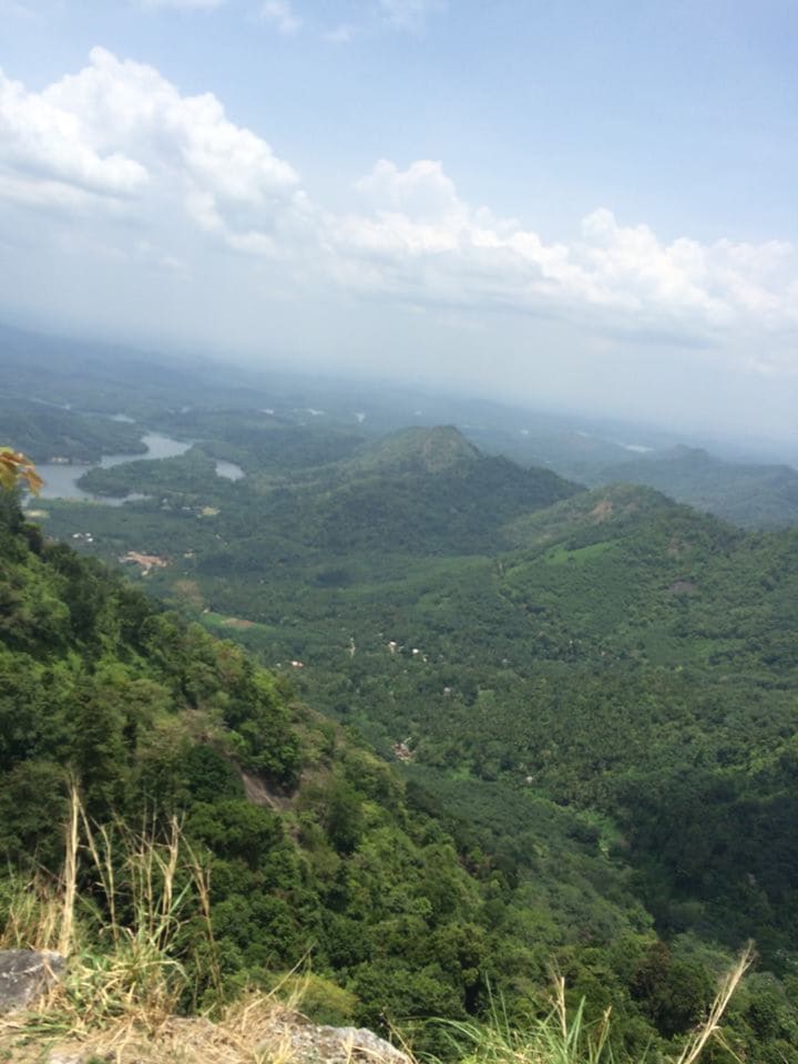
The photographs remember a wet landscape: steep greenery, streams spilling over dark rock, mist around settlements, and forest pressing close to the road. Kerala Tourism describes the approach in much the same way—the reservoir falling away below the hairpin bends, plantation country higher up, and small cascades that become forceful in the monsoon.
The route needs a weather-aware plan. Heavy rain may make waterfalls more impressive while reducing visibility and increasing road and trail risk. The archive image is evidence of water and atmosphere, not a reason to ignore current warnings.
Malabar and the highlands
Wayanad, Nilambur, and Kakkayam make a slower northern circuit
Wayanad
The 2000 folder is an early highland record of forest, cultivation, and roads that reward unhurried travel.
Nilambur
The 2015 visit shifts toward the Chaliyar basin and a landscape long associated with teak.
Kakkayam
A reservoir and forest journey where road conditions, access rules, and daylight matter more than distance.
Connect sparingly
These are not three quick pins. Give each area enough time for weather, elevation, and local detours.
Water and forest
Athirappilly, Poomala, and the archive’s smaller waters
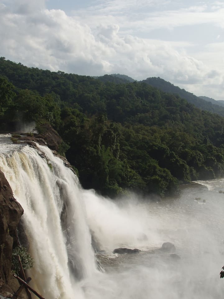
Athirappilly appears in a 2007 folder, while Poomala Dam and the Nelliyampathy cascades arrive in 2012. Together they show why “waterfall season” is too simple a phrase: rain affects volume, visibility, current, trail safety, road conditions, and the amount of pressure on a site.
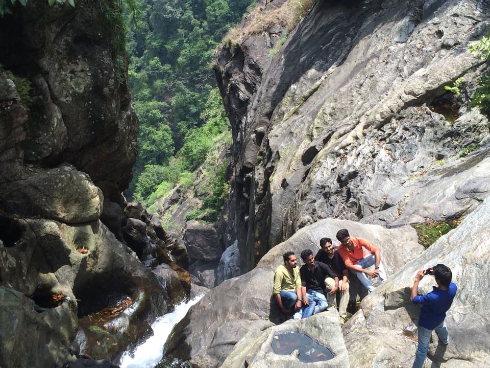
Viewpoints and barriers deserve respect even when other visitors ignore them. River rock can be deceptively slick, and a familiar-looking pool may behave very differently after rain. The durable memory should be the landscape, not a risky shortcut taken for a photograph.
Personal archive
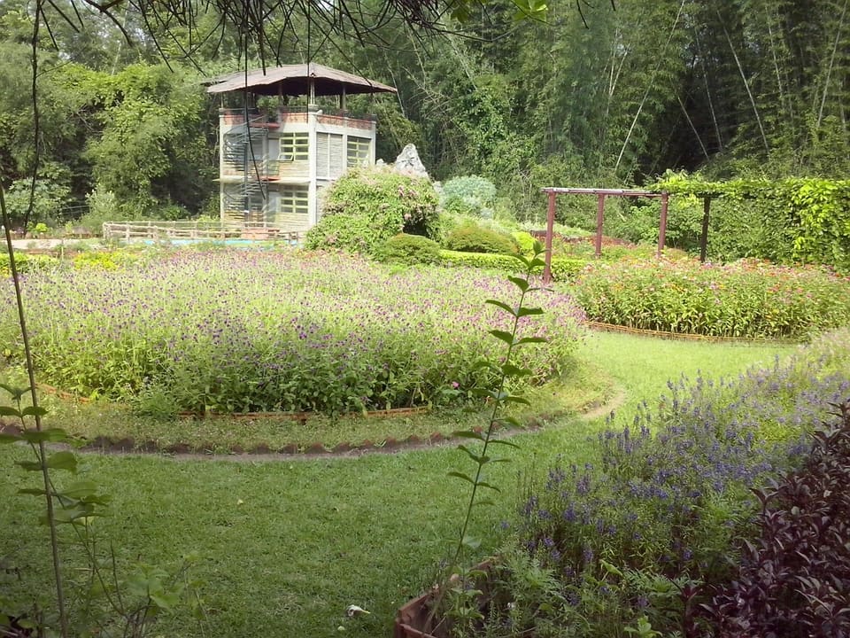
Gallery rooms, old walls, reservoirs, and monsoon forest
Before you go
Let weather and geography set the pace
Separate city and hill days
Kochi traffic and Western Ghats roads are different kinds of slow. Do not make either a rushed transfer.
Check the monsoon
Rain changes visibility, road surfaces, river levels, trail access, and the usefulness of a timetable.
Verify old reviews
Restaurants evolve. Use firsthand notes for context, then confirm current menus, hours, and access.
Reduce your footprint
Carry waste out, keep noise low, and follow restrictions around forests, reservoirs, and wildlife.
Evidence and context
Public trail and official reading
Firsthand review evidence comes from the public Google Maps review profile, the indexed Palaaram review, C’sons RepEat review, and Ascot Lounge contribution.
Destination context was checked against Kerala Tourism’s Nelliyampathy guide, 2016 Kochi-Muziris Biennale page, and destination directory.
The administrative hierarchy follows Kerala Tourism’s official 14-district directory. District geometry uses geoBoundaries India ADM2 under ODbL 1.0. Mapped visitor places and selected food and nightlife leads use OpenStreetMap contributors under ODbL; venue details can change and should be rechecked.